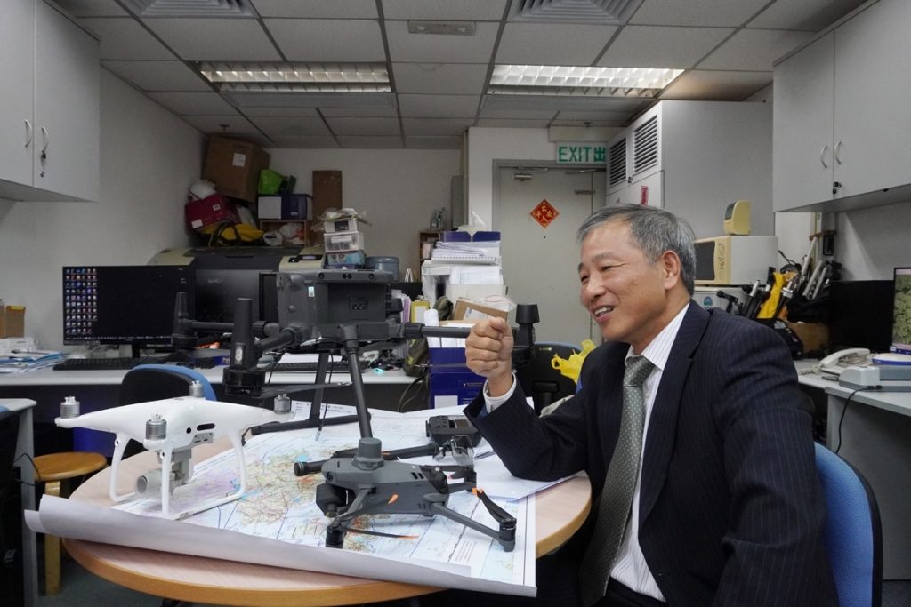
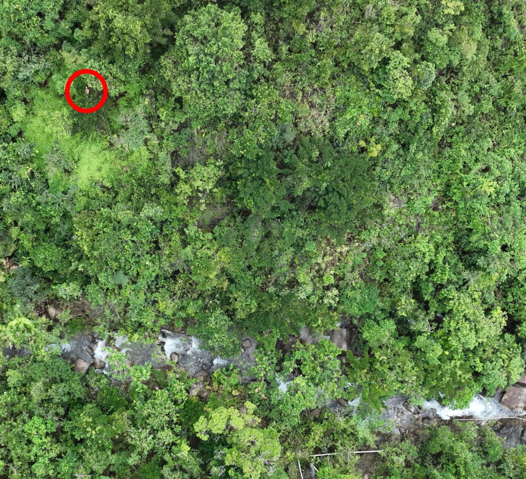
Hong Kong registered land surveyor Lee Wai-pang utilised aerial photography surveying techniques to assist in the search of missing people. He took the opportunity on the 10/10 to arrange for the photography. Many of the photos were overlapping due to the height at which they were taken, ensuring that no area was left unsearched. Lee aimed to create a three-dimensional map for the purpose of locating the missing person.
集誌社: 尋回失蹤學生|重組逾千航拍照見疑似校服 測量師分析消防拍攝方法未完善https://thecollectivehk.com/%E5%B0%8B%E5%9B%9E%E6%9B%BE%E6%86%B2%E5%93%B2%EF%BD%9C%E9%87%8D%E7%B5%84%E9%80%BE%E5%8D%83%E8%88%AA%E6%8B%8D%E7%85%A7%E8%A6%8B%E7%96%91%E4%BC%BC%E6%A0%A1%E6%9C%8D%E3%80%80%E6%B8%AC%E9%87%8F%E5%B8%AB/
星島頭條: 男拔生失蹤|獲救前一日航拍機攝得蹤影 專家分析失蹤位置:極之險要https://www.stheadline.com/breaking-news/3281417/%E7%94%B7%E6%8B%94%E7%94%9F%E5%A4%B1%E8%B9%A4%E6%9B%BE%E6%86%B2%E5%93%B2%E7%8D%B2%E6%95%91%E5%89%8D%E4%B8%80%E6%97%A5%E8%88%AA%E6%8B%8D%E6%A9%9F%E6%94%9D%E5%BE%97%E8%B9%A4%E5%BD%B1-%E5%B0%88%E5%AE%B6%E5%88%86%E6%9E%90%E5%A4%B1%E8%B9%A4%E4%BD%8D%E7%BD%AE%E6%A5%B5%E4%B9%8B%E9%9A%AA%E8%A6%81
有線新聞: 男拔生尋回|曾參與丁利華案搜救 測量師以無人機助搜索 放逾千張相上網合力尋人
男拔生曾憲哲尋回|曾參與丁利華案搜救 測量師以無人機助搜索 放逾千張相上網合力尋人
無線新聞: 土地測量師稱失蹤學生獲救前曾以航拍土地測量技術拍照 發現相信為失蹤者身影
東網: 失蹤學生獲救前一日 航拍攝得裸身臥草叢
https://hk.on.cc/hk/bkn/cnt/news/20231012/bkn-20231012190619554-1012_00822_001.html
明報: 土地測量師測量繪地圖30年 用專業知識助搜索行山失蹤者
DIMSUM DAIRY: Aerial survey by surveyor captures over a thousand-images revealing 17-year-old missing student naked before rescue
Aerial survey by surveyor captures over a thousand images, revealing 17-year-old Matthew Tsang naked before rescue
South China Morning Post: Body of missing solo hiker found in Hong Kong country park, 17 days after losing contact with family
明報: 指不應依賴手提信號定位 專家證人倡增無人機搜索
https://life.mingpao.com/general/article?issue=20230201&nodeid=1675190848855
香港電台鏗鏘集: 尋人啟事
https://podcast.rthk.hk/podcast/item.php?pid=244&eid=122601&lang=zh-CN

