Star Vision Ltd. is a Professional Photogrammetry Consultancy Firm. We provide Photogrammetry services and one of our products is the SVMap –Image.
SVMap –Image offers a high resolution aerial imagery called SVMap –Image. The SVMap –Image provides better aerial solutions than that provided by Google. SVMap –Image offers a higher resolution, realistic and clear features, updated imagery, large, medium and small scale orthophotos, imagery in often obscured places and truly vertical photos.
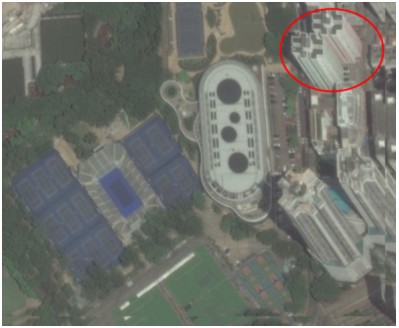
Here are some visual comparisons:
| SV-Map Image |
Google Technology |
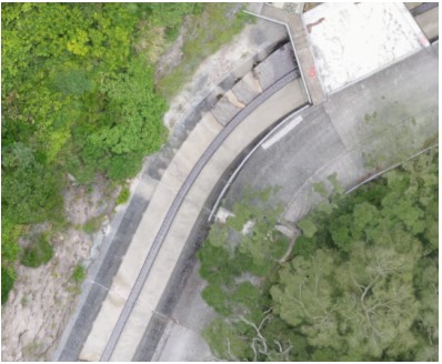
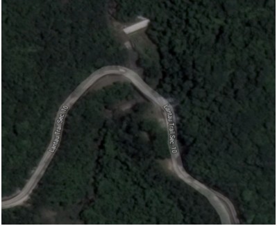
|
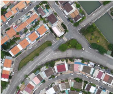
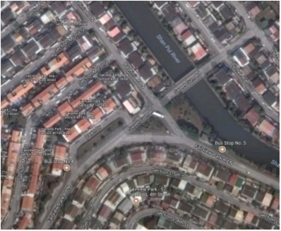
High Resolution
|
Low Resolution
|
|
Realistic Scenes and Clearly defined Features and edge construction
|
Unclear features
|
|
Up – to – date Imagery
|
Out dated Imagery
|
|
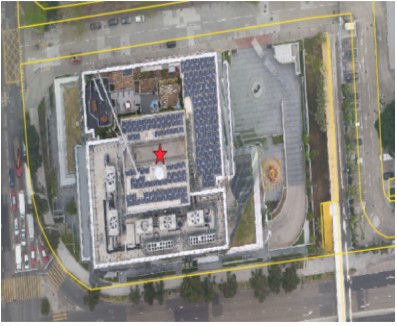
Large Scale Photos (detailed map) even of Obscured Places |
Small Scale Photo of Obscured Location |
|
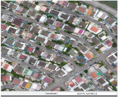
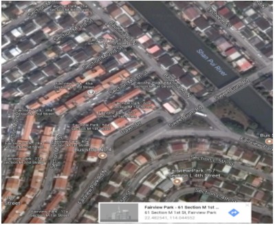
Orthophotos referenced to a Grid System, can be directly used as a map
|
Cannot acquire accurate map measurements, image is referenced to a geographical coordinate system
|
|
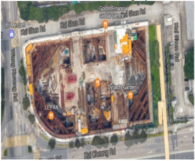
Truly Vertical Photos, Clear Visuals of all Ground Features
|
Perspective View, Ground Features are obscured
|