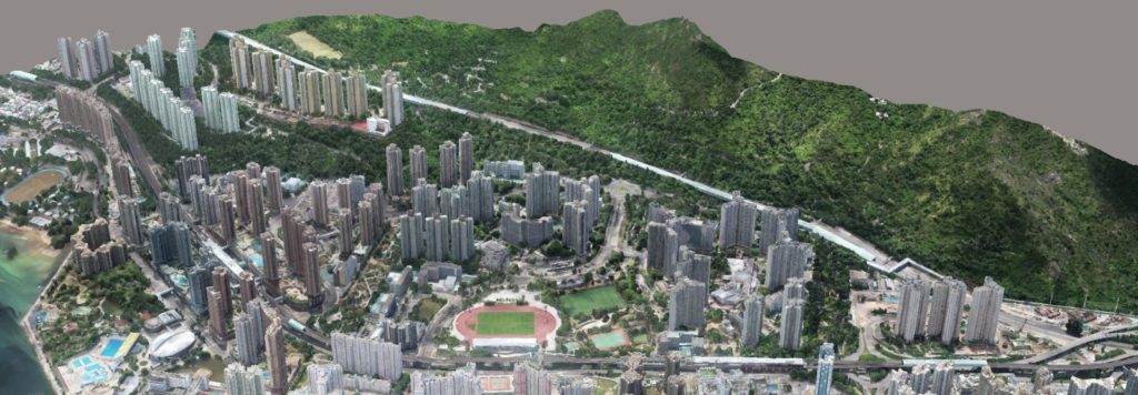
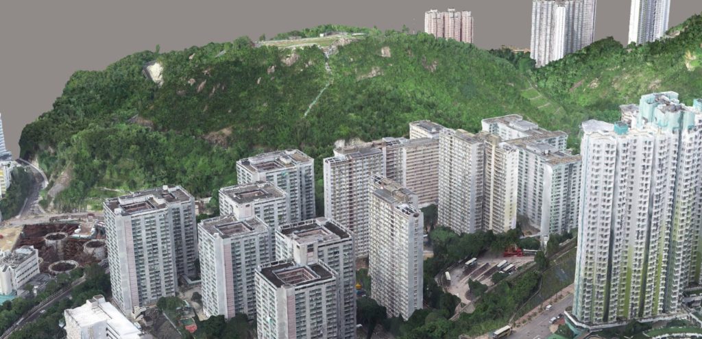
Star Vision Limited is experienced in aerial survey by photogrammetry using Unmanned Aerial Vehicle (UAV, drone). Using RTK method to calibrate the location of the images, the results are georeferenced 3D models, such as point clouds and textured meshes, with high geolocation accuracy at cm level. The resolution of the model is between 1 cm to 10 cm as Ground Sampling Distance (GSD).
Quality control of the aerial survey is provided by measuring the coordinates between the field measurement and the processed image, i.e. check points, by photogrammetry.
The models can be used for 3D smart city, digital twin, Building Information Modelling (BIM) production, Geographic Information System (GIS), 3D mapping, virtual reality (VR) visualization and animation.
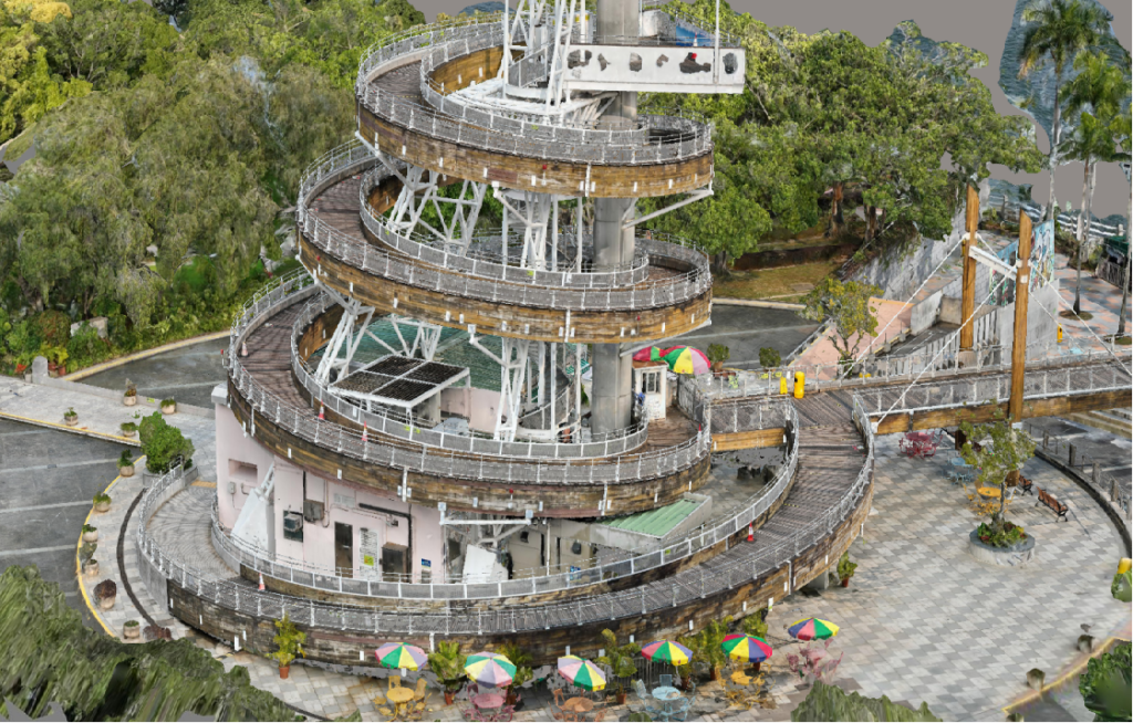
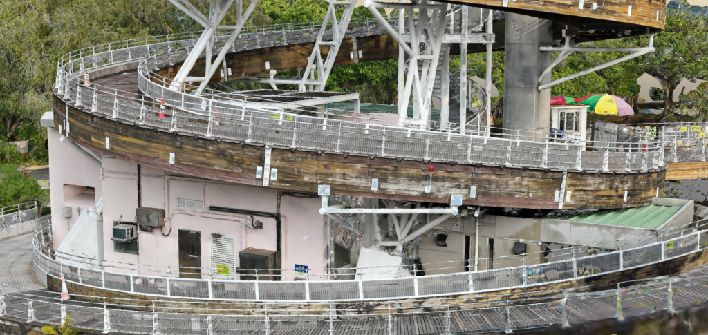
Survey of the Lookout tower and bridge at Tai Po Waterfront Park by UAV/Drone survey
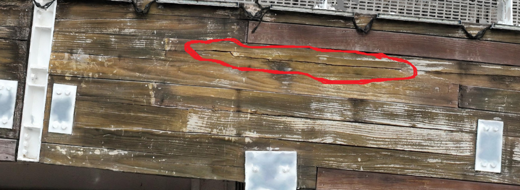
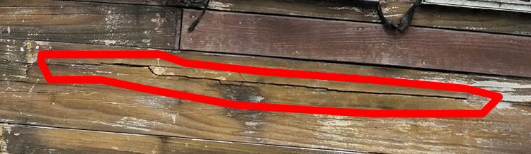
High resolution UAV model can detect the crack at the lookout tower and bridge