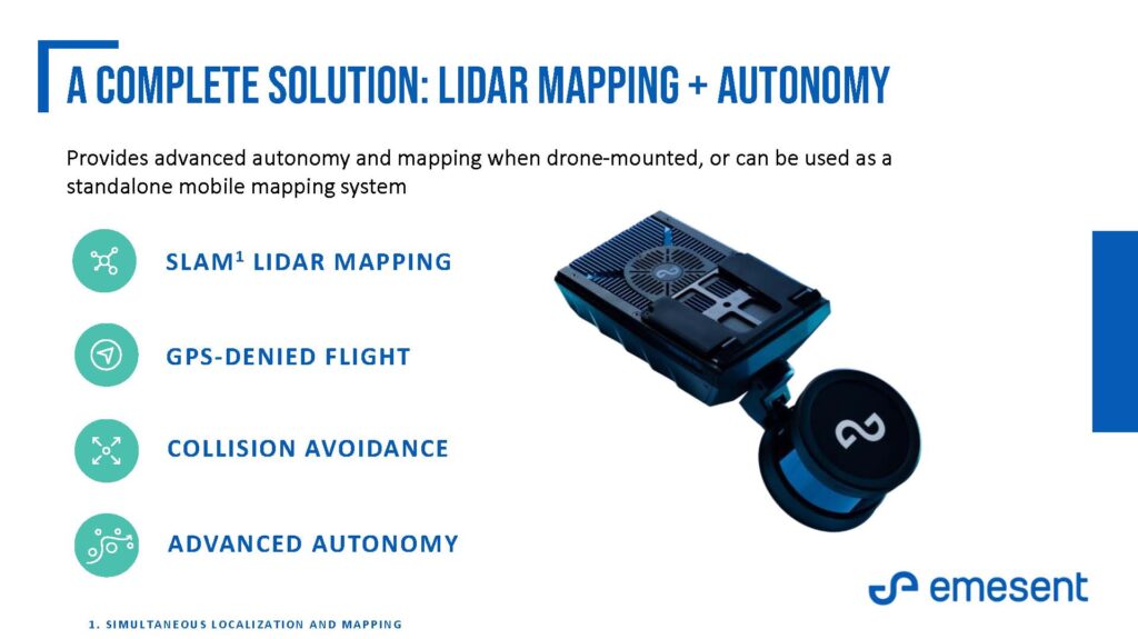
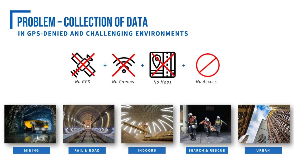
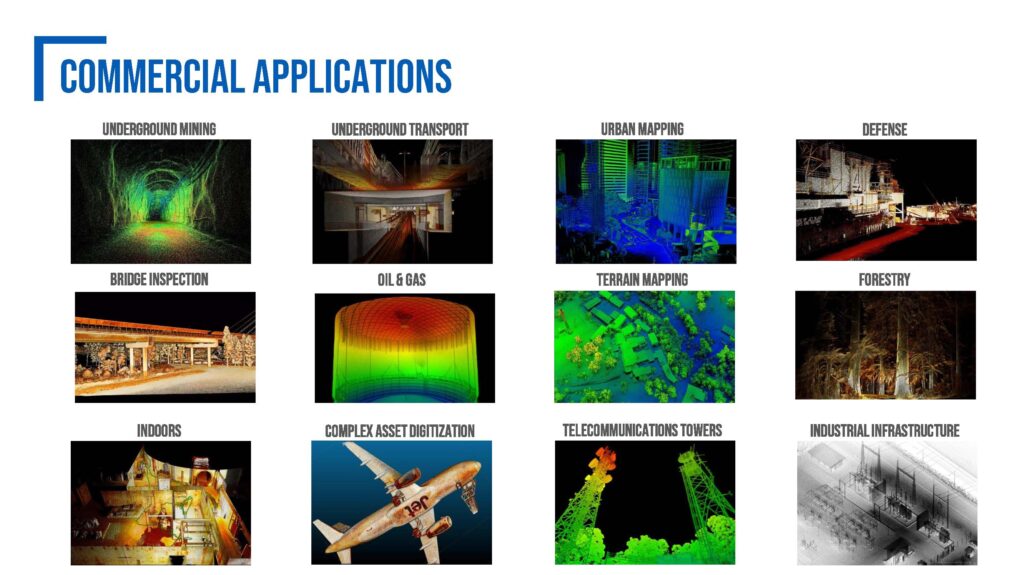
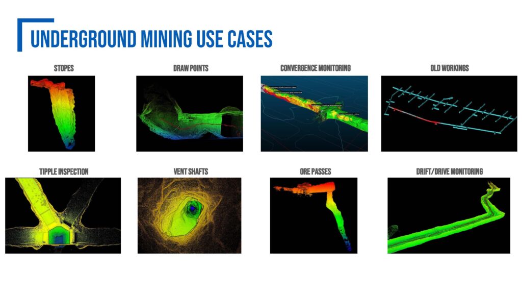
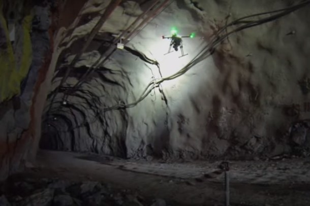
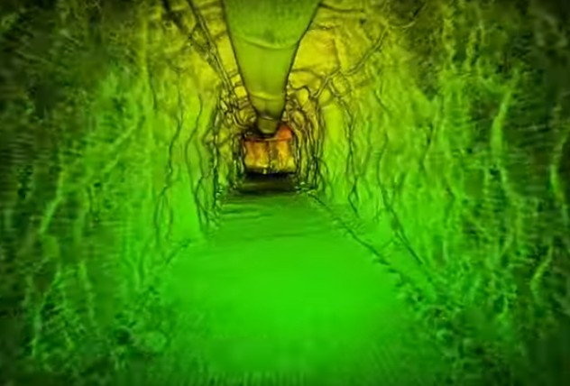
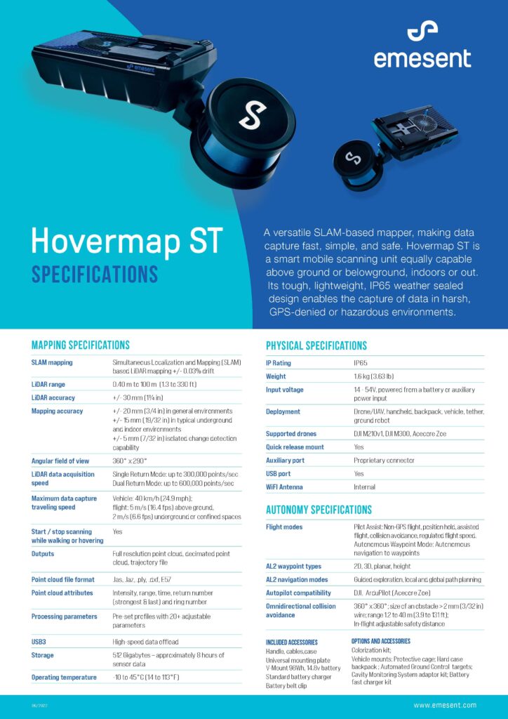
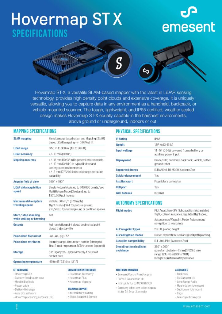
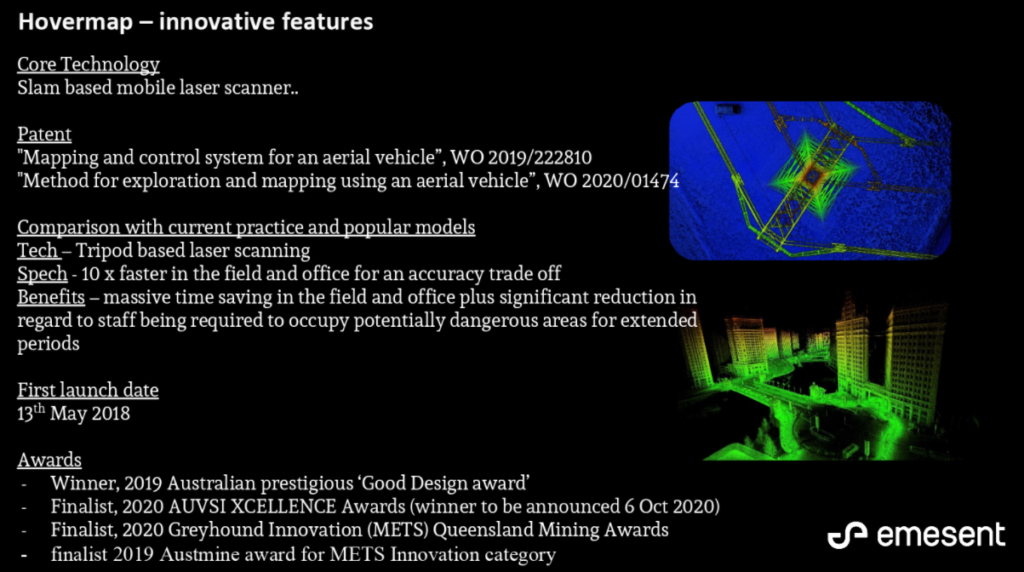
Hovermap is a smart mobile scanning unit which can be walking scans or mounted to a drone to provide autonomous mapping in challenging inaccessible areas. Equally capable above ground or underground, indoors or out, Hovermap is your complete mobile LiDAR mapping solution.
Hovermap has its heritage in CSIRO’s Data61, a world leader in data science research in Australia, where many years of SLAM-based(*) development has resulted in the Hovermap unit we have today. This development has also been aided and boosted by Emesent’s involvement with Data61 in the USA-based DARPA (Defense Advanced Research Projects Agency) Subterranean Challenge.
(*) SLAM – Simultaneous Localization And Mapping
MAPPING THE INACCESSIBLE
