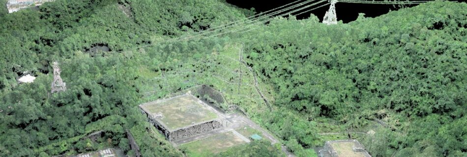
Digital 3D model of power line, artificial slope, and water reservoir tank
Star Vision 3D model show power line alignment across m …
Read more “Digital 3D model of power line, artificial slope, and water reservoir tank”
Star Vision 3D model show power line alignment across m …
Read more “Digital 3D model of power line, artificial slope, and water reservoir tank”

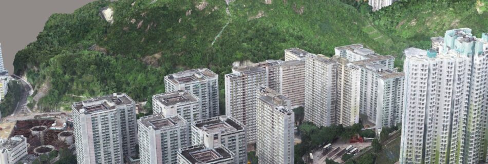
Star Vision has 3D city model visualization technology …
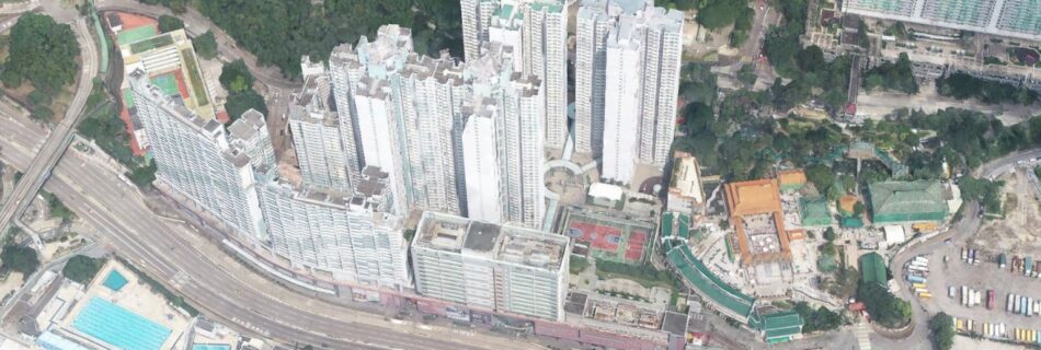
Star Vision satellite view technology update urban deve …
Star Vision has created SVMap image products of Jordan …
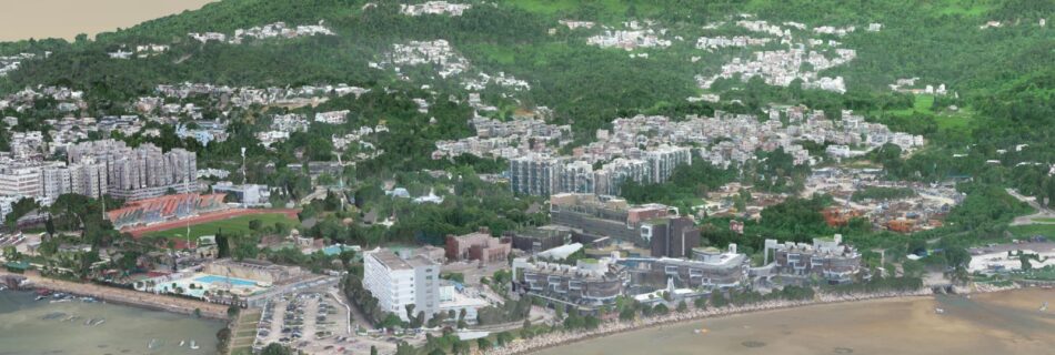
Star Vision has created SVMap image products of Sai Kun …

