• About Us (EN/JP)
    • About Us
    • 私たちについて
    • Our Managing Director
  • News
    • Mr. Thomas Lee Presents at EEHB 2024
    • Paper Published on HKIE Transactions
    • 無人機協助搜索失蹤人士
    • 土地測量師測量繪地圖30年 用專業知識助搜索行山失蹤者【附行山11個注意事項】
    • TVB創科導航 無人機睇風水
    • RTHK Hong Kong Connection(鏗鏘集) 尋人啟示
  • Our Services
    • Aerial Survey by Photogrammetry
    • Condition Survey
    • Expert Witness for Lot Boundary Disputes and Adverse Possession
    • Geospatial Data Management System (GDMS) Service
    • Laser Scanning
    • Site Selection (Feng Shui)
    • Space Technology
    • Topographic Survey
    • Tree Survey
    • Environmental Impact Assessment
  • Contact Us
  • Hardware and Software Sales
    • Hardware
      • (NEW) OmniSLAM Mobile SLAM Color 3D Laser Scanner
      • (NEW) CHCNAV Android-powered Total Station
      • (NEW) SOKKIA iX Robotic Total Station
      • (NEW) SingularXYZ Lightweight GNSS Receivers
      • (NEW) GPSPATRON GNSS Interference Detection Device
      • Autel Robotics
      • CHCNAV Alpha3D Mobile Mapping System
      • Emesent Hovermap
      • Imajing
      • Phoenix Aerial Systems
      • SABRE
    • Software
      • Agisoft Metashape
      • Aplitop
      • Geostory GeoModeler
      • Global Mapper
      • Quick Terrain Modeler (QTM)
      • RealityCapture
      • Supergeo SuperGIS
      • UgCS Command & Control
      • UgCS – Drone Based Solutions for Industrial Inspections
  • SV-Map Image Projects
    • 3D Urban Model
    • SV-Image
    • SVMap – Image versus Google Map
Skip to content
StarVision Ltd
  • About Us (EN/JP)
    • About Us
    • 私たちについて
    • Our Managing Director
  • News
    • Mr. Thomas Lee Presents at EEHB 2024
    • Paper Published on HKIE Transactions
    • 無人機協助搜索失蹤人士
    • 土地測量師測量繪地圖30年 用專業知識助搜索行山失蹤者【附行山11個注意事項】
    • TVB創科導航 無人機睇風水
    • RTHK Hong Kong Connection(鏗鏘集) 尋人啟示
  • Our Services
    • Aerial Survey by Photogrammetry
    • Condition Survey
    • Expert Witness for Lot Boundary Disputes and Adverse Possession
    • Geospatial Data Management System (GDMS) Service
    • Laser Scanning
    • Site Selection (Feng Shui)
    • Space Technology
    • Topographic Survey
    • Tree Survey
    • Environmental Impact Assessment
  • Contact Us
  • Hardware and Software Sales
    • Hardware
      • (NEW) OmniSLAM Mobile SLAM Color 3D Laser Scanner
      • (NEW) CHCNAV Android-powered Total Station
      • (NEW) SOKKIA iX Robotic Total Station
      • (NEW) SingularXYZ Lightweight GNSS Receivers
      • (NEW) GPSPATRON GNSS Interference Detection Device
      • Autel Robotics
      • CHCNAV Alpha3D Mobile Mapping System
      • Emesent Hovermap
      • Imajing
      • Phoenix Aerial Systems
      • SABRE
    • Software
      • Agisoft Metashape
      • Aplitop
      • Geostory GeoModeler
      • Global Mapper
      • Quick Terrain Modeler (QTM)
      • RealityCapture
      • Supergeo SuperGIS
      • UgCS Command & Control
      • UgCS – Drone Based Solutions for Industrial Inspections
  • SV-Map Image Projects
    • 3D Urban Model
    • SV-Image
    • SVMap – Image versus Google Map

3D Urban Model

3D Urban Model of Yuen Long

3D Urban Model of Siu Sai Wan (near Chai Wan)

3D Urban Model of Ma On Shan


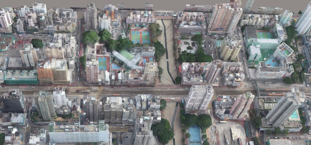
Star Vision Limited provides or updates a new 3D model every week.

More 3D urban model samples can be found in the following links:

  • Sai Kung
  • Jordan Valley (Eastern Kowloon)
  • Fairview Park (錦繡花園) in Yuen Long
  • Tsz Wan Shan

Copyright © 2025 StarVision Ltd Inspiro Theme by WPZOOM
Show Buttons
Hide Buttons
error: Content is protected !!